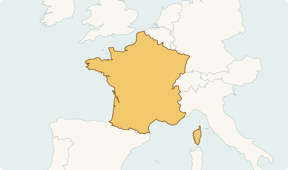
How to learn countries on a map
Start with a country’s position, then look at its coastline and neighbours. A distinctive outline is useful, but location gives you another way to recall the answer when the map is zoomed or cropped.
Build regional anchors
Learn a few anchors in each region first: Brazil in eastern South America, India below the Himalayas and Germany in central Europe. Then connect nearby countries to those anchors instead of trying to memorise the entire world at once.
Understand the map view
These practice maps are regional views, not equal-scale comparisons of country size. Some views show a country’s main land area rather than all of its overseas territories. Boundaries are simplified for learning and are not a statement about sovereignty.
Geographic shapes: Natural Earth. Country names and capital reference: GeoNutshell country data. Sources, database licenses and credits. Natural Earth maps. The downloadable sample dataset is available as JSON; derived country database contributions are offered under ODbL 1.0. Report a correction.