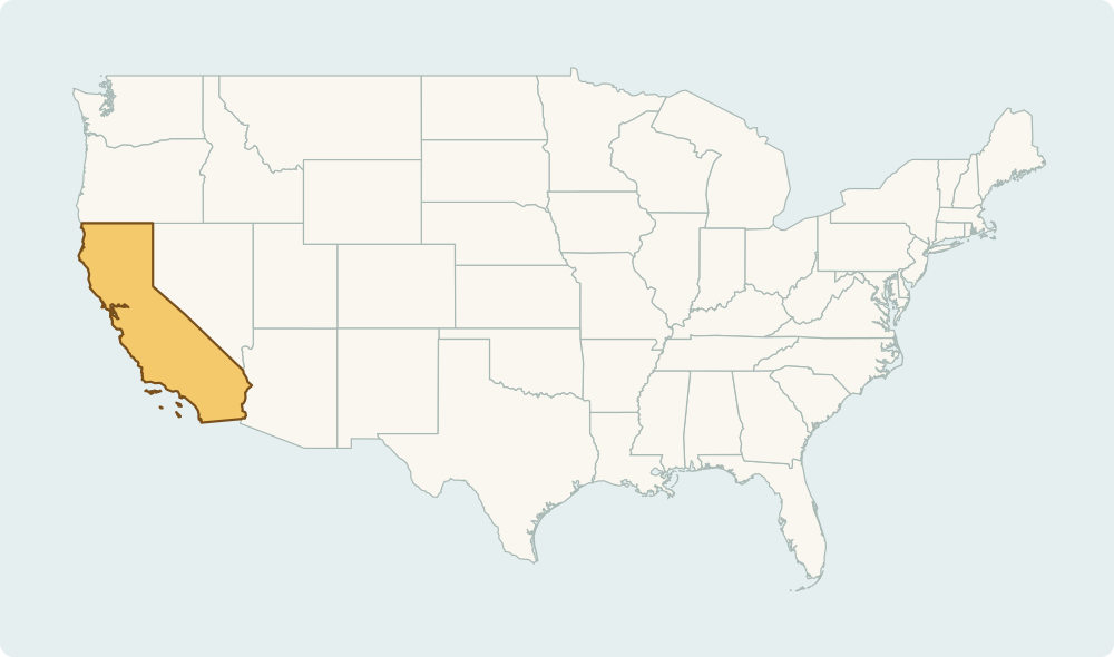
Start with coasts and corners
California and Washington are useful anchors on the Pacific coast. Florida is the southeastern peninsula, and Maine is at the northeastern edge of the contiguous United States. Place these first, then work toward the interior.
Use neighbouring states to remember the interior
Colorado is north of New Mexico; Arizona is south of Utah. Illinois touches Lake Michigan. Linking a state to its neighbours or a major lake creates a second clue when a rectangular outline is hard to recognise.
50 states, not 51
The United States has 50 states. Washington, D.C. is a federal district, not a state; Washington state is a different place in the Pacific Northwest. This demo includes ten states in the contiguous United States. Alaska, Hawaii and D.C. are not questions in this sample.
Geographic shapes: Natural Earth. Country names and capital reference: GeoNutshell country data. Sources, database licenses and credits. Natural Earth maps. The downloadable sample dataset is available as JSON; derived country database contributions are offered under ODbL 1.0. Report a correction.